Dear Sir or Madam,
I would like to include sea-salt emissions in my CMAQ model. According to the official documentation, this requires generating an OCEAN file using the Spatial Allocator software. However, I have encountered a series of issues while running the program.
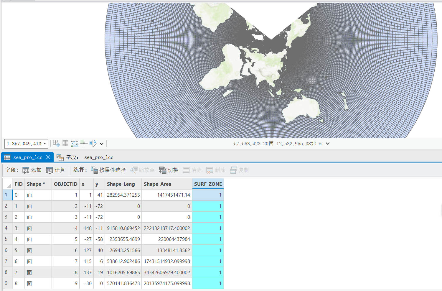
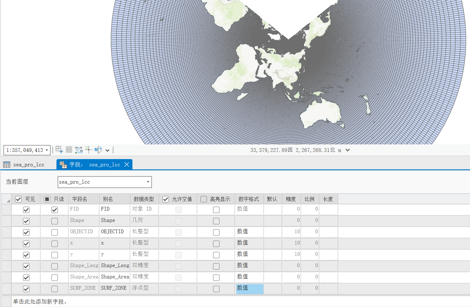
First, the input Shapefile I used is a global ocean shapefile (in .shp format) to which I added a SURF_ZONE field. I will also provide the information from the corresponding .prj file. The GRIDDESC.txt file was generated by MCIP and contains the grid information for CMAQ. The two files have different spatial resolutions.
When I run the program, it crashes and stops automatically. I will attach the run script and other related files. Could you please advise me on how to fix these problems? In addition, I would like to know if there are other ways to include sea-salt emission data in CMAQ.
Thank you very much for your help.
Best regards,
PROJCS[“LCC”,GEOGCS[“GCS_WGS_1984”,DATUM[“D_WGS_1984”,SPHEROID[“WGS_1984”,6378137.0,298.257223563]],PRIMEM[“Greenwich”,0.0],UNIT[“Degree”,0.0174532925199433]],PROJECTION[“Lambert_Conformal_Conic”],PARAMETER[“False_Easting”,0.0],PARAMETER[“False_Northing”,0.0],PARAMETER[“Central_Meridian”,101.738],PARAMETER[“Standard_Parallel_1”,30.0],PARAMETER[“Standard_Parallel_2”,60.0],PARAMETER[“Scale_Factor”,1.0],PARAMETER[“Latitude_Of_Origin”,36.493],UNIT[“Meter”,1.0]]
alloc_surf_zone_to_oceanfile.csh (1.5 KB)
GRIDDESC.txt (197 Bytes)